Trees for Global Benefits
Communal Land Associations (CLAs)
The worth of Community Land in Biodiversity Corridors
MoMo4C Support (2019 - 2024)


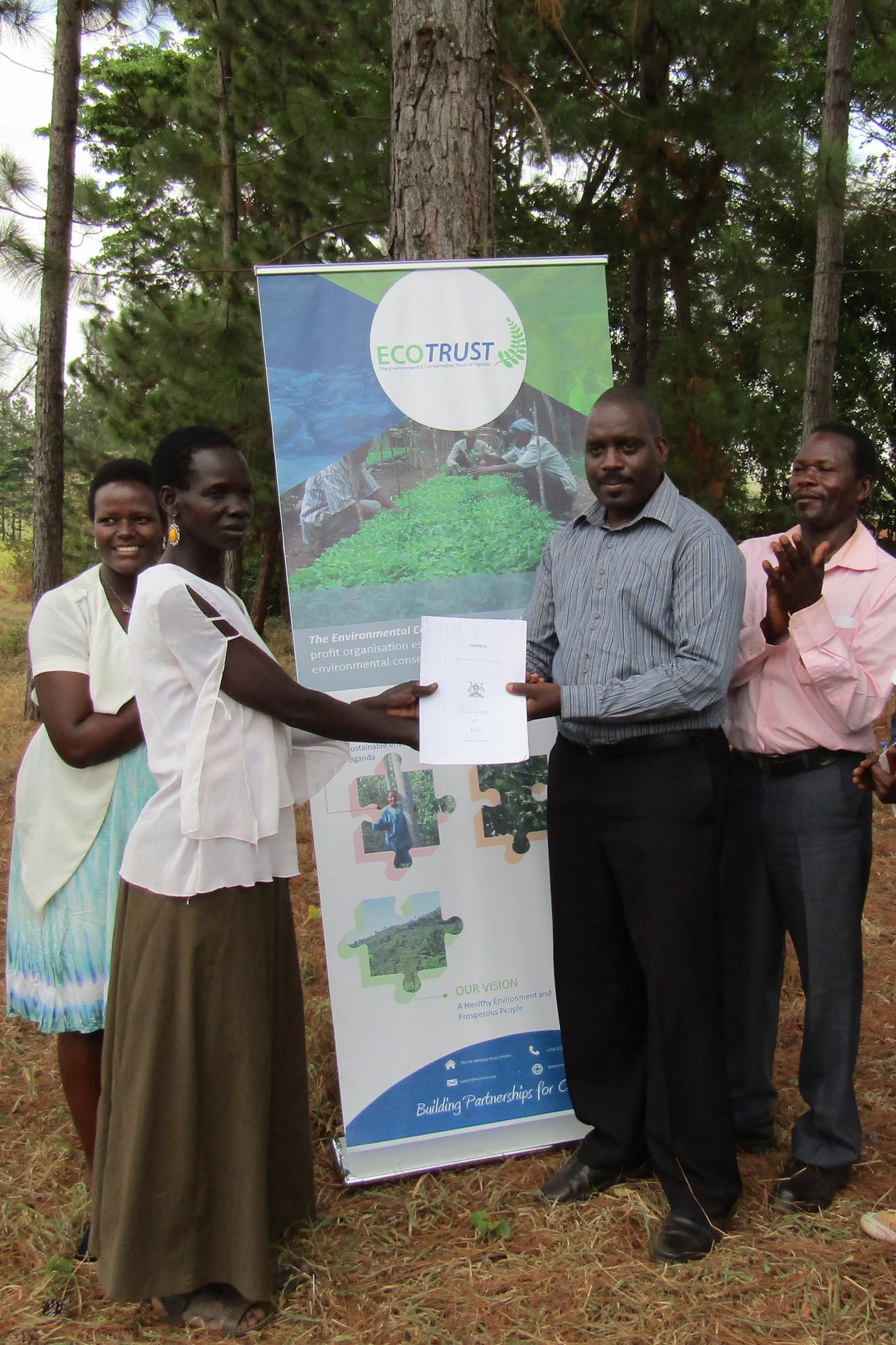
Communal Land Associations
In a bid to maintain connectivity within the Murchison : Semiliki biodiversity corridor, ECOTRUST has since 2007 been working with the local government of Masindi District to use innovative conservation models to promote community led initiatives for Sustainable forest management of community forests.
The tropical high forests of western Uganda support an exceptional diversity of animal and plant species (Plumptre et al., 2007). Forests were previously contiguous and interconnected, allowing for ecological connectivity and gene flow between the main forest blocks. However, settlement, expansion of commercial agriculture and industrial development, especially following the discovery of oil in the region, has led to their almost total separation and isolation from each. It is therefore critical that the remaining pockets of private and community forests are maintained and/or increased to enable the continued provision of environmental services.
These innovative models were piloted by ECOTRUST in two community forests i.e. Ongo and Alimugonza forests, which are some of the primary high tropical forests found Masindi District and are outside the Protected Area system. ECOTRUST has mobilized communities and supported them to form communal land associations (CLAs). These CLAs are dully registered legal entities, (with certificates of incorporation) and have been mandated to manage these community forests.
With initial support from Myclimate, ECOTRUST built the capacity these CLAs, equipping their leaders to manage the forests, resolve conflicts and promote income generating activities amidst challenges from a growing population, high levels of forest encroachment & limited financing. The CLAs have formed Village Savings and Loans Associations (VSLAs), through which the PES benefits are channeled to the community.
SRJS Support (2017 - 2020)


The IUCN NL funded Shared Resources, Jointed Solutions Uganda Programme, working with ECOTRUST, has since 2017 provided resources to support a more streamlined registration process for these CLAs.
The programme, in 2017 supported the titling of six community forests in Masindi district by facilitating situation analyses, demarcation, forest management planning and registration. Ongo community forest became the first forest in Uganda to be granted tenure, by the Ministry of Lands, Housing and Urban Development. This was made possible because the relevant laws and guidelines were already in place.
Between January and December 2019, three other forests namely Sonso, Siiba and Rwentumba finalised the community and district consultations, boundary opening, development of the constitutions and applied for registration.
Since SRJS’ involvement in 2017, four more CLAs have been mobilized, bringing the total number of registered forest adjacent CLAs in Masindi to ten. Currently all these CLAs have been issued with both certificates and have revised their forest management plans, precursor to issuance of forest land titles.
The SRJS programme developed a framework for benefit sharing for these forest adjacent communities and trained them in business case development for institutional sustainability. These groups have been instilled a culture of self-reliance rather than over dependency on outside support, equipping them to fully and sustainably manage their forest resources.
CLA Profiles
The forest is situated between Nyangtonzi and Kisabagwa Parishes in Budongo and Kyabigambire Sub-counties in Masindi and Hoima districts respectively. It is about 50km West of Masindi town and 22km East of Hoima. The forest adjacent villages are Katanga, Katugo I, Katugo II, Rwentale I, Rwentale II, Bineneza in Nyantonzi Parish Budongo Sub-county-Masindi district and Bineneza in Kisabagwa parish-Kyabigambire Sub-Sub-county Hoima district. It lies to the western part of Masindi town at a distance of about 50km along Masindi-Butiaba road off at mile 22 following Karongo-Nyantonzi-Katasiha road . Spatially, on the world map, it lies between Latitude (1o53”30’N) and Longitude (31o46”0’E). The legal registered institution is BINENEZA COMMUNAL LAND ASSOCIATION. It is mapped with the aid of a Global Positioning Systems and data processed by use of Geographical Information Systems (GIS) to compute an area of 200Ha.
Bineneza Community Forest 200 Hectares
Alimugonza community forest is situated in Pakanyi sub-county, Buruli county, Masindi district. It lies to the north east of Masindi town at a distance of about 31km. It boarders with Murchsion Falls National Park in the northern part, Kinura village in the south, Kimina village in the east and Kaborogota village in the west. Alimugonza community forest which comprises a mixed forest and a woodland forest type covers an area of about 24 hectares. Spatially, on the world map, it lies between Latitude (1o53”30’N) and Longititude (31o46”0’E). The legal registered institutional name is Alimugonza Community Forest; it is mapped with the aid of a Global Positioning Systems and data processed by use of Geographical Information Systems (GIS) to compute and area of 24Ha.
Alimugonza Community Forest 24 Hectares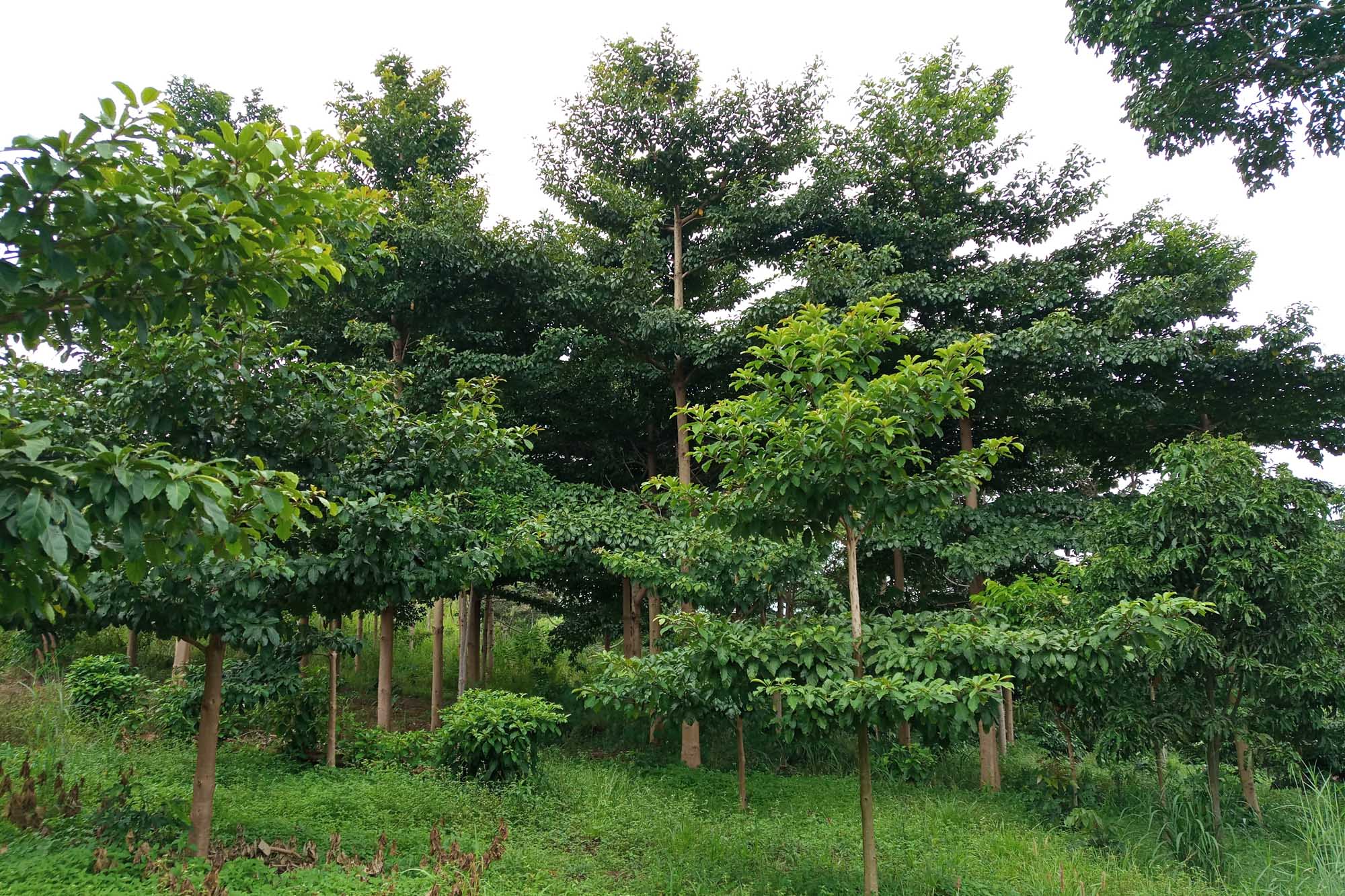
Motokai community Forest is situated in Nyatonzi Parish and Nyabyeya parish, Budongo Sub-County, Bujenje County, Masindi District. It lies to the western part of Masindi town at a distance of about 32 km along Masindi – Butiaba road. It borders with Karongo village in the northern part, Nyabigoma village in the east, and Ekarakaveni I in the west. It lies to the north east of Masindi town at a distance of about 31km. Motokai community forest which comprises a mixed forest and a woodland forest type covers an area of about 18 hectares. Spatially, on the world map, it lies between Latitude (1o53”30’N) and Longititude (31o46”0’E). The legal registered institutional name is MOTOKAI COMMUNITY FOREST; it is mapped with the aid of a Global Positioning Systems and data processed by use of Geographical Information Systems (GIS) to compute and area of 21Ha.
Motokai Community Forest 21 Hectares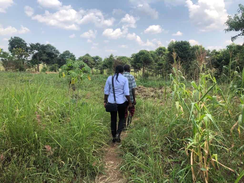
Tengele forest covers an area of 52ha and is massively degraded and needs rehabilitation. It is situated in Nyantonzi Parish, Budongo Sub-county and about 40km West of Masindi town. It is surrounded by four villages of Rwentale I and II, Kabali and Nyantonzi Trading centre. Tengele community forest which comprises a mixed forest and a woodland forest type, spatially, on the world map, lies between Latitude (1o 38”0’ and 1o 38”30’N) and Longititude (31o28”30’ and 31o29”0’E). The legal registered institutional name is Tengele Community Forest; it is mapped with the aid of a Global Positioning Systems and data processed by use of Geographical Information Systems (GIS) to compute and area of 50.3Ha.
Tengele Community Forest 50.3 Hectares
Kaitampiisi Community Forest is situated between Nyabyeya and Kabango Parishes, Budongo Sub-County, Bujenje County, Masindi District. It lies to the western part of Masindi town at a distance of about 28 km along Budongo Saw Mill road off Butiaba at Bwinamira I village. The other access roads are Mubende-Kyankade-Ewafala-Nyabyeya II road and Kyankade-Kadukulu II and I road. Spatially, on the world map, it lies between Latitude (1o53”30’N) and Longitude (31o46”0’E). The legal registered institution is KAITAMPIISI COMMUNAL LAND ASSOCIATION. It is mapped with the aid of a Global Positioning Systems and data processed by use of Geographical Information Systems (GIS) to compute an area of 57Ha.
Kaitampisi Community Forest 57 Hectares
Kyamasuka community Forest is situated between Nyabyeya and Kabango Parishes, Budongo Sub-County, Bujenje County, Masindi District. It lies to the western part of Masindi town at a distance of about 28 km between Masindi – Butiaba road and Budongo saw mill road. Also joining Budongo Saw Mill road to Butiaba road is the Kadukulu I-Lugazi-Kyempunu road that runs East-West that enables one to access it almost throughout the length of the forest. Spatially, on the world map, it lies between Latitude (1o53”30’N) and Longitude (31o46”0’E). The legal registered institution is KYAMASUKA COMMUNAL LAND ASSOCIATION. It is mapped with the aid of a Global Positioning Systems and data processed by use of Geographical Information Systems (GIS) to compute an area of 65Ha.
Kyamasuka Community Forest 65 Hectares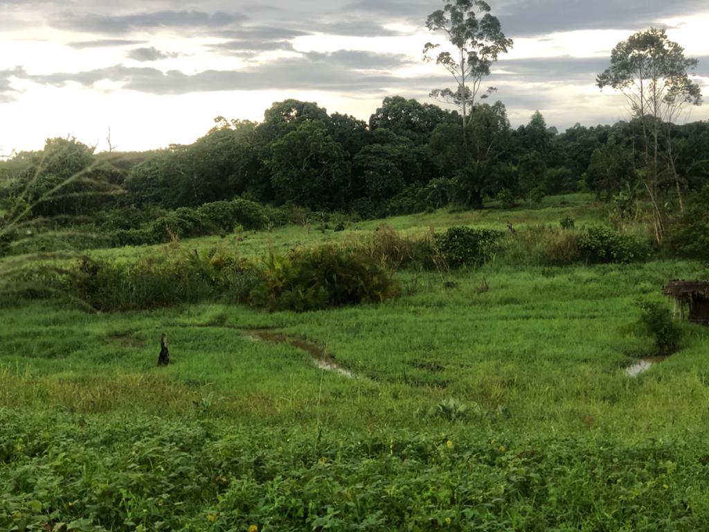
The forest is situated in Kimanya upper village in Nyantonzi Parish in Budongo Sub-county- Masindi district. It is about 28km West of Masindi town through Kinyara Sugar limited factory. Spatially, on the world map, it lies between Latitude (1o53”30’N) and Longitude (31o46”0’E). The legal registered institution is RWENTUMBA COMMUNAL LAND ASSOCIATION. It is mapped with the aid of a Global Positioning Systems and data processed by use of Geographical Information Systems (GIS) to compute an area of 200Ha.
Rwentumba Community Forest 200 Hectares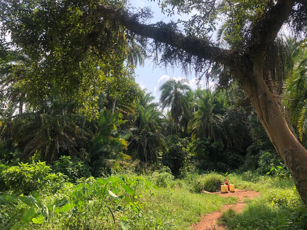
Siiba Community Forest is situated in Kabango, Kasongoire, Nyantonzi and Nyabyeya Parishes, Budongo Sub-county, Bujenje County, Masindi district. It stretches along Masindi-Biiso road approximately 28-35km West of Masindi town. The forest adjacent villages are Kidamukye, Bwinamira I, Bwinamira III, Bulyango, Kyamongi, Ekarakaveni II, Ekarakaveni I, Siiba, Nyabigoma nd Karongo. It is a water catchment for the above adjacent villages that provides spring wells in the respective villages. It lies to the western part of Masindi town at a distance of about 18-15 km at the edge of Masindi-Biiso road off Bwinamira I-Kasongoire road and Karongo-Nyantonzi road. Spatially, on the world map, it lies between Latitude (1o53”30’N) and Longitude (31o46”0’E).
Siiba Community Forest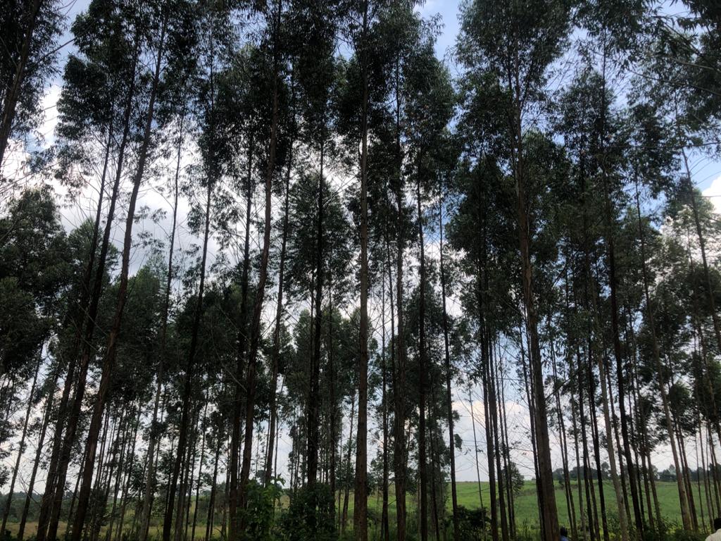
Sonso Community Forest is situated Kabango Parish (Kabango Town Council), Budongo Sub-County, Bujenje County, Masindi District. It lies to the western part of Masindi town at a distance of about 12 km at the edge of Masindi-Biiso road off Mubende-Kapeka road. The forest can also be access through Mubende-Kyankade-Ewafala road. Spatially, on the world map, it lies between Latitude (1o53”30’N) and Longitude (31o46”0’E).
Sonso Community Forest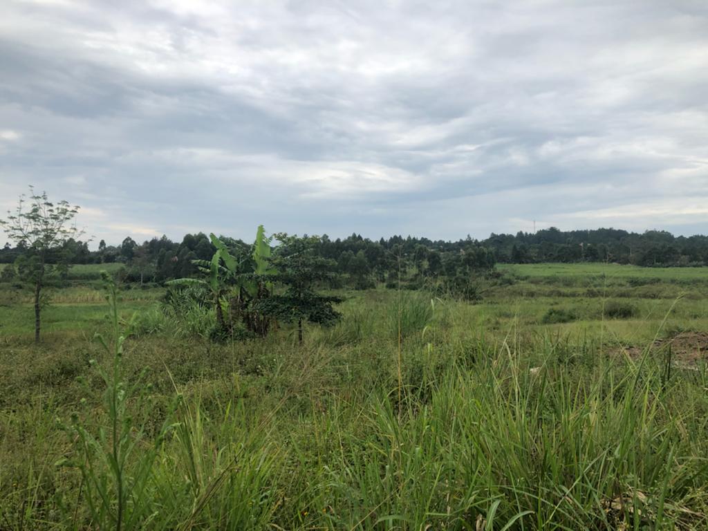


Follow Us On