
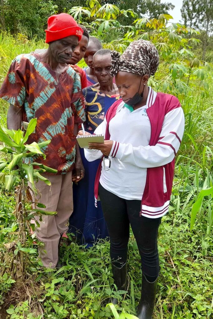
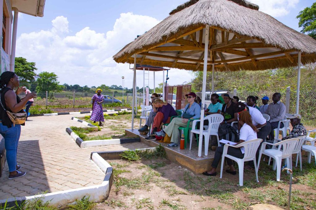
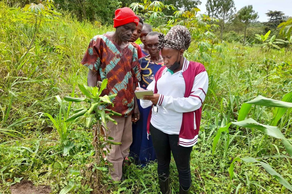
IIED and SIDA Visit Alimugonza Community Forest
On Tuesday 18th March 2025, ECOTRUST, together with a team from the International Institute for Environment and Development (IIED) and the Swedish International Development Cooperation Agency (SIDA), visited the Alimugonza…
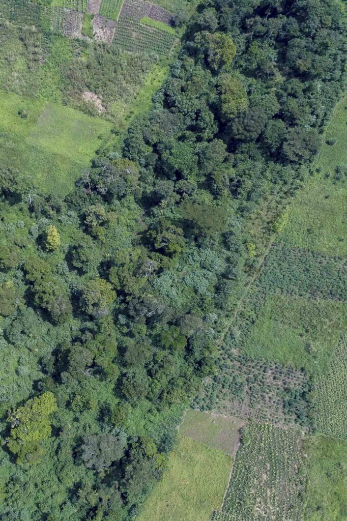
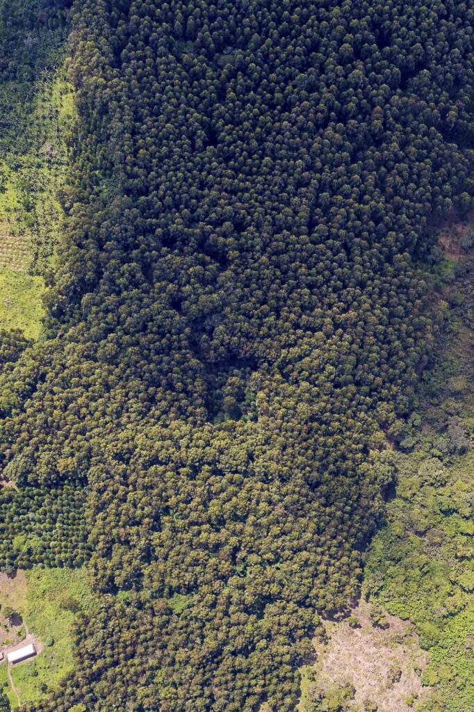
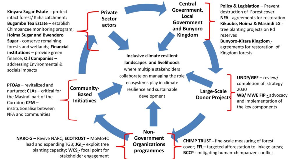
Update: Corridor Restoration Programme (2020 – 2023)
ECOTRUST with funding from the World Land Trust (WLT) is supporting the establishment of a Corridor Restoration Fund (CRF) to drive the restoration of forest connectivity corridors between the two…
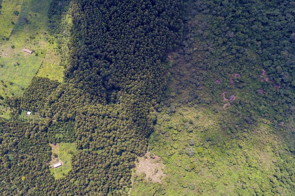
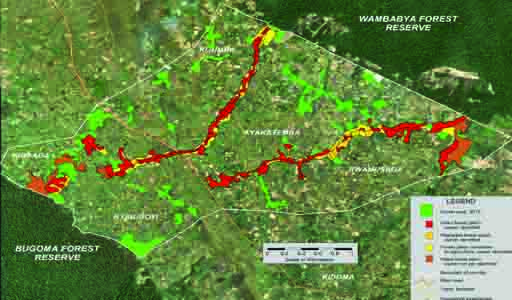
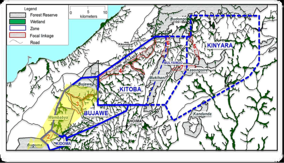
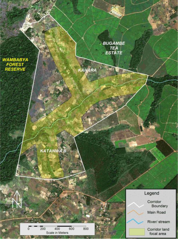
Restoring corridor Connectivity in the Northern Albertine Rift
In partnership with IUCN Committee of The Netherlands, ECOTRUST has embarked on a process of developing a detailed plan for re-establishing critical linkages within the Northern Albertine Rift Forest Corridor. …
Follow Us On